
Our Services
Technology-driven surveying, mapping and land management services, delivered as one integrated workflow from field data to final report.
01 — INTEGRATED LAND AUDIT
Integrated Land Audit
One verified view of every plot.
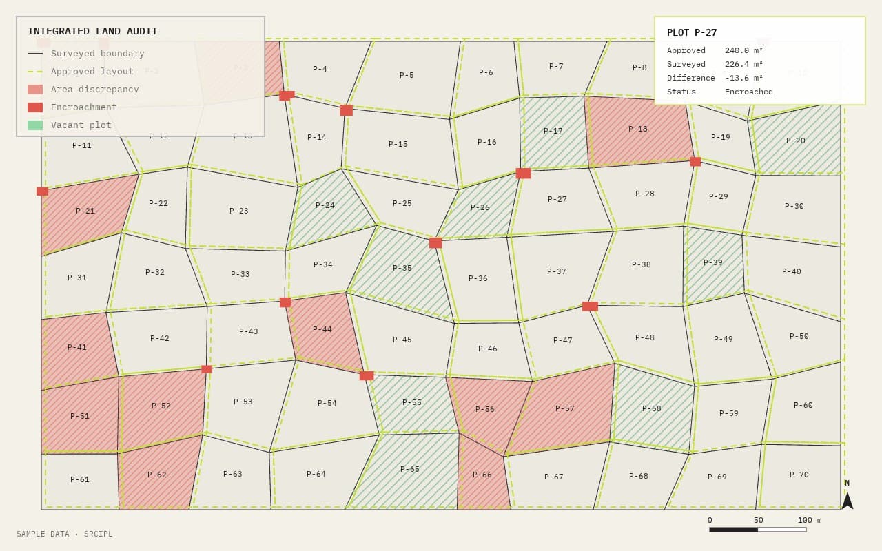
Development schemes often carry gaps between what was approved, acquired, possessed and what actually exists on the ground. We combine revenue records, layout plans, DGPS survey, drone imagery, LiDAR, GIS and field verification into a single Digital Land Asset Database.
The audit identifies
- Approved area
- Acquired area
- Possession area
- Actual physical area
- Plot-wise discrepancies
- Encroachments
- Vacant land
- Development status
Deliverables
02 — DGPS / GNSS SURVEY
DGPS / GNSS Survey
Precise positioning, the base of every map.
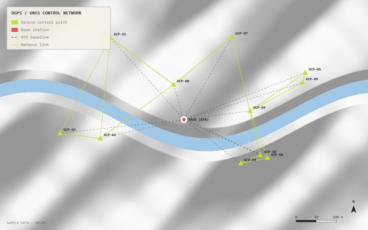
Dual-frequency GNSS/DGPS receivers with RTK and NTRIP positioning.
Scope
- Ground Control Points (GCPs)
- Geo-referencing of revenue maps and layout plans
- Coordinate conversion and transformation
- High-accuracy boundary and parcel surveys
- [If offered] Boundary demarcation and total station surveys
Deliverables
03 — DRONE / UAV SURVEY
Drone / UAV Survey
Large areas mapped quickly, with survey-grade accuracy.
RTK/PPK-enabled drones, flown by [DGCA-certified pilots — confirm].
Scope
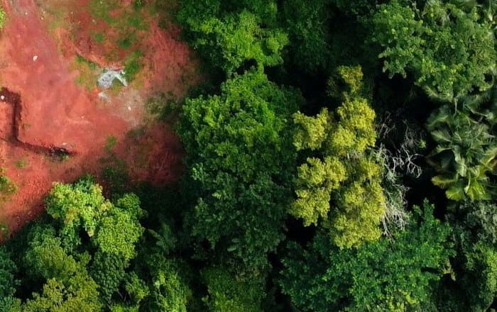
- Aerial photogrammetry and high-resolution imagery
- Orthomosaic generation
- Digital Elevation Model (DEM) and Digital Terrain Model (DTM)
- 3D reconstruction and volumetric analysis
- Large-area land and infrastructure mapping
Deliverables
04 — LIDAR SURVEY
LiDAR Survey
High-precision reality capture for land, buildings, infrastructure and corridors.
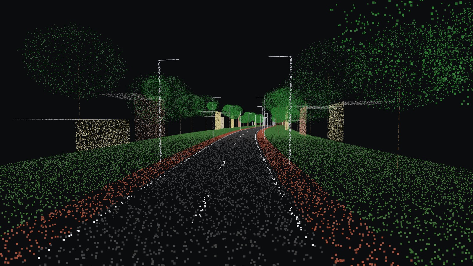
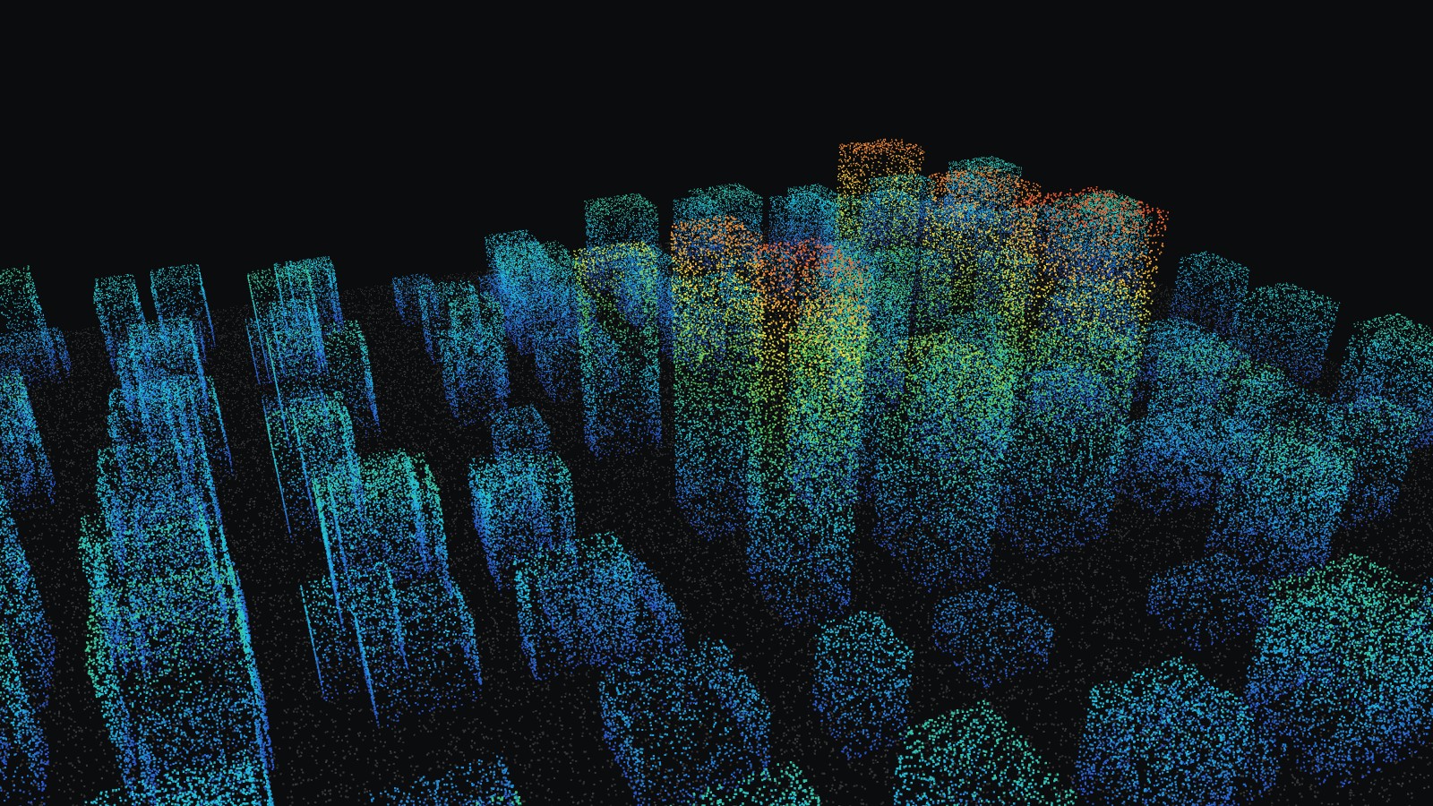
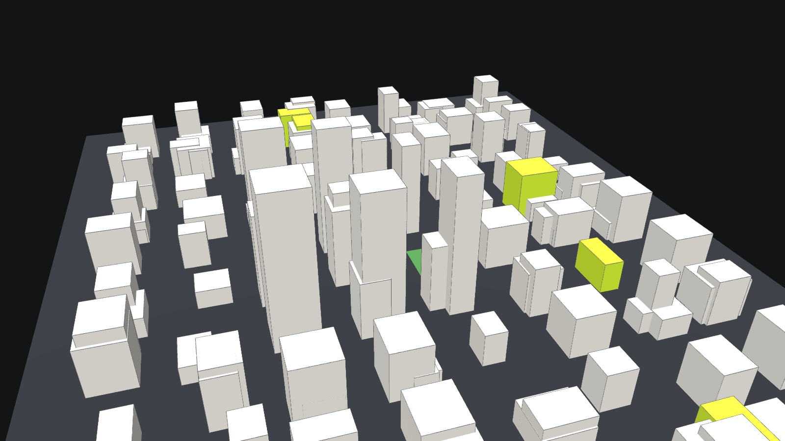
LiDAR captures dense 3D point clouds, even under vegetation and in complex spaces, geo-referenced with RTK/GNSS and ground control points.
Capabilities
- 3D laser scanning: buildings, industrial facilities, heritage structures, interiors and exteriors
- Mobile / handheld LiDAR: rapid site scans, indoor mapping, obstructed areas, as-built records
- Drone LiDAR: large terrain, vegetated and inaccessible areas, corridors
- LiDAR topography: ground surface, contours, DEM/DTM, breaklines, spot levels, terrain classification
- Roads & infrastructure: road geometry, carriageway, drainage, bridges, flyovers, utility corridors, as-built surveys
- Land & urban mapping: 3D land surface, buildings, roads, encroachments, utilities, plot boundaries in one database
- Volume & change analysis: earthwork, stockpiles, cut and fill, construction progress, before/after comparison
Deliverables
05 — GIS & DIGITAL MAPPING
GIS & Digital Mapping
Land records turned into searchable, map-based data.
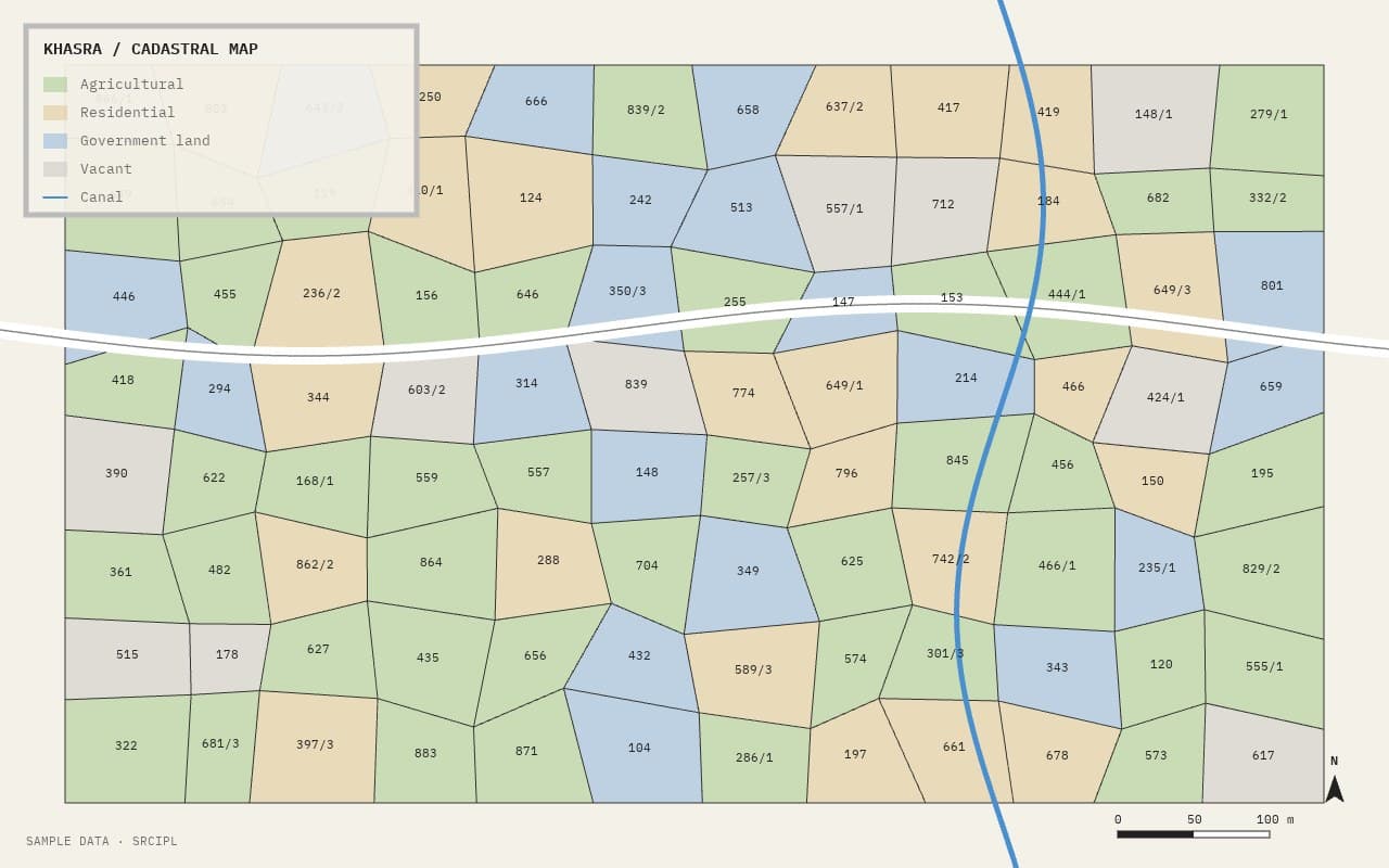
GIS-based land parcel and cadastral mapping, revenue map digitisation and encroachment mapping, structured for real use in the field and the office.
Scope
- GIS-based land parcel and cadastral mapping
- Revenue map digitisation
- Layout plan superimposition
- Land-use / land-cover mapping
- Encroachment mapping
- Geo-tagged asset mapping
- Web GIS database development
- [If offered] Satellite imagery analysis
Deliverables
06 — TOPOGRAPHICAL & ENGINEERING SURVEY
Topographical & Engineering Survey
Accurate ground data for design and construction.
Detailed field surveys that feed directly into engineering design, from alignment studies to utility mapping.
Scope
- Detailed topographical surveys and contours
- Road and drainage surveys
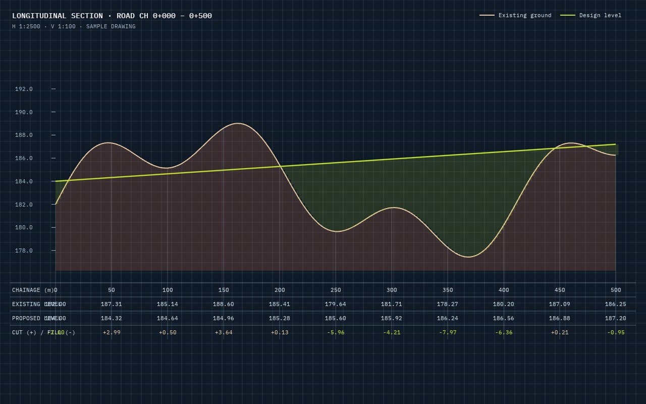
- Longitudinal and cross-sectional surveys
- Utility mapping
- Alignment and corridor surveys
- Digital terrain modelling
- [If offered] GPR (ground penetrating radar) for underground utilities
Deliverables
07 — HYDROGRAPHIC & BATHYMETRIC SURVEY
Hydrographic & Bathymetric Survey
Reliable underwater data for reservoirs, rivers and water bodies.
GNSS positioning, echo sounder and hydrographic survey software used together.
Scope
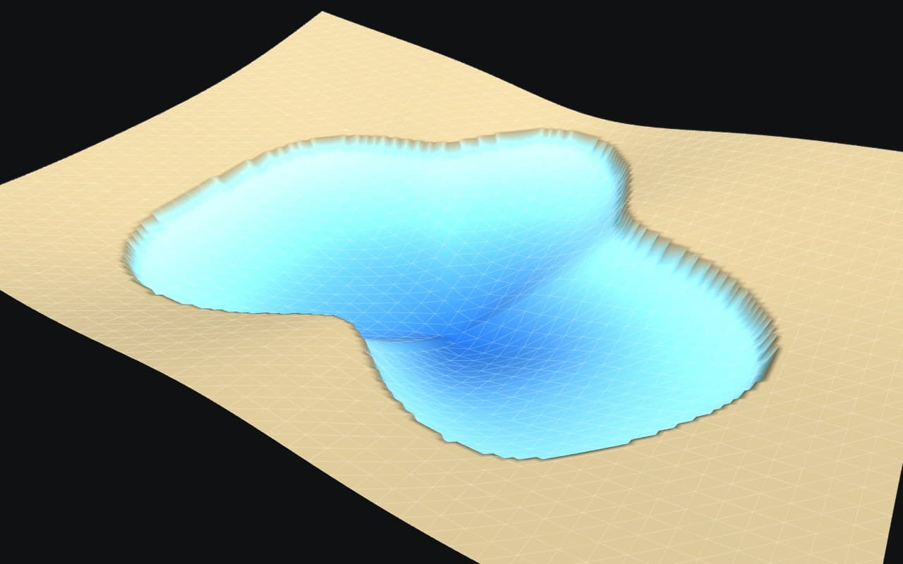
- Bathymetric surveys
- Reservoir capacity assessment
- Bed-level mapping and contours
- Siltation assessment
- Storage–elevation analysis
Deliverables
CAD & Survey Data Processing
Field data converted into usable drawings and models, on Civil 3D, AutoCAD, Global Mapper, Pix4D, GIS software and E-Survey/TopoDraw.
Encroachment & Revenue Map Analysis
Revenue maps (khasra/gata) and layout plans superimposed on precise survey and drone imagery, showing where boundaries are crossed, with measured area and photographs for each case.
Discuss your project
Share your requirement and documents; our team will review the scope and send a technical and commercial proposal.